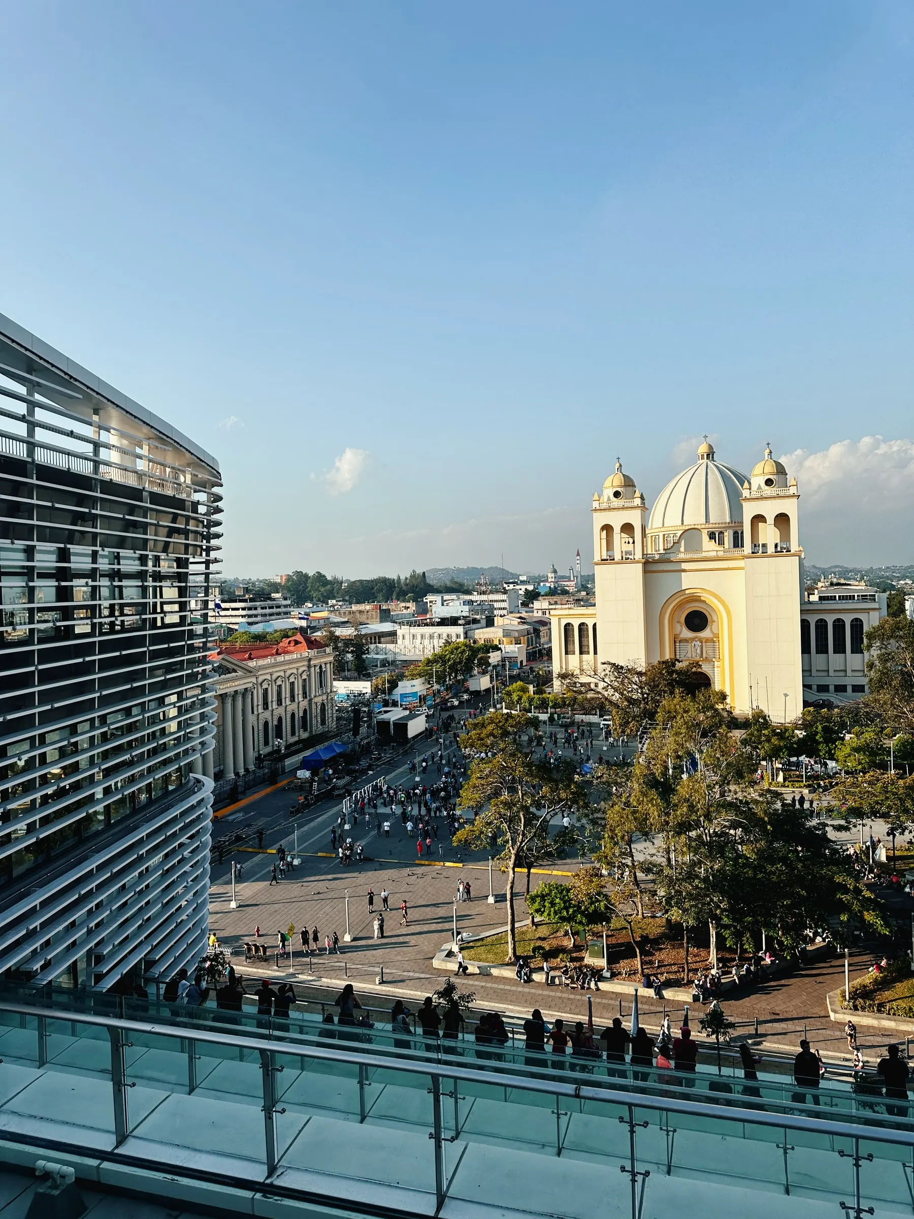
Ruinas del Tazumal, Santa Ana6 min read
Tazumal: the Maya pyramid rebuilt in concrete
El Salvador's best-known archaeological site, in Chalchuapa — and the most argued-over restoration in the country.

- Best time to go
- Morning, before the shade runs out — the plaza is open and there is very little cover. Closed Mondays.
- Getting there
- About 1h15 from San Salvador, or 20 minutes from Santa Ana city. The site is in the middle of Chalchuapa, signposted from the main road.
- Cost
- A few dollars for foreign visitors, less for residents. The on-site museum is included.
- How long
- 1–2 hours, or half a day with Casa Blanca
Don't miss
- Structure B1-1 — the stepped pyramid, around 24 m tall
- Museo Stanley Boggs, named for the archaeologist who dug the site
- Casa Blanca, a second excavated site ten minutes away
- Laguna Cuzcachapa, right beside the ruins
Tazumal sits in the middle of Chalchuapa, a working town in Santa Ana department, hemmed in by houses and a cemetery. There is no long approach road and no jungle. You park on an ordinary street, pay at a gate, and a thousand-year-old pyramid is simply there.
That lack of ceremony is the first surprise. The second is the concrete.
What you are looking at
The main structure, catalogued as B1-1, is a stepped pyramid roughly 24 m tall. The wider Chalchuapa archaeological zone — of which Tazumal is one part, alongside Casa Blanca, El Trapiche and Las Victorias — was occupied across a very long span, with activity from the pre-Classic period through to around 1200 AD.
The name comes from Nahuat, the language of the Pipil people who were in the area later, and is usually translated as something close to the place where the victims were burned. That is a Pipil name applied to a site whose main construction is considerably older, which is a decent summary of how many hands this place passed through.
Objects found here show contact well beyond the valley: styles connected to Teotihuacan in central Mexico, and later Toltec-associated pieces. Chalchuapa was not a backwater.
The restoration argument
Here is the thing nobody mentions in the brochure. What you photograph at Tazumal is not entirely the original surface.
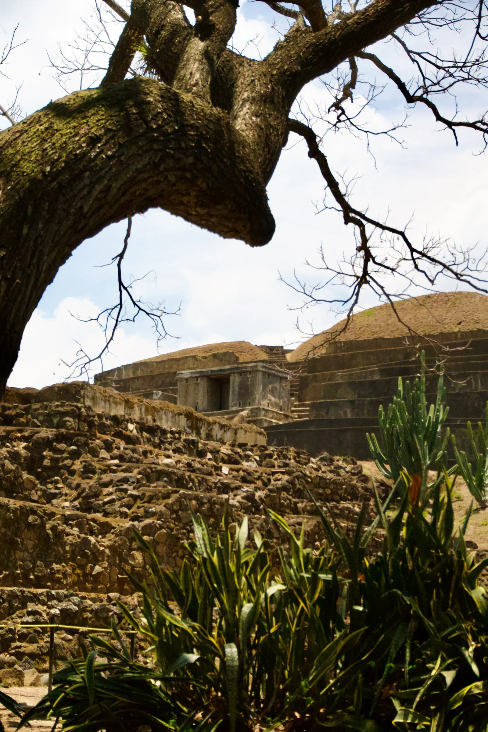
The site was excavated from the 1940s by Stanley Boggs, working with the Smithsonian, and the reconstruction that followed used a great deal of poured concrete over the stepped facade. By modern conservation standards this is close to indefensible — it is irreversible, it obscures the original stonework, and it makes the structure read as sharper and more regular than the archaeology supports.
It is also why the pyramid is legible at all to a casual visitor. Most Salvadoran sites are grassy mounds; Tazumal looks like a pyramid because someone made it look like one.
Go knowing that, and the visit gets more interesting rather than less. You are looking at two things at once: a genuinely ancient structure, and a mid-century idea about how the past should be presented.
The museum
The small on-site Museo Stanley Boggs holds ceramics, obsidian and jade recovered from the zone. It is not large and the labelling is mostly Spanish, but it does the job of showing you what came out of the ground rather than only what was rebuilt on top of it.
Make it a day
Casa Blanca is ten minutes away, also in Chalchuapa, and is the better site for anyone who wants to see excavation left as excavation — exposed structures, less reconstruction, and an indigo workshop where you can try the dye process the region traded on for centuries.
Laguna Cuzcachapa sits right beside Tazumal. Chalchuapa itself is worth twenty minutes on foot.
If you are coming from the coast, Tazumal pairs naturally with Santa Ana — the cathedral and theatre there are the best examples of the country's turn-of-the-century wealth — or with Cerro Verde and Coatepeque for a two-day loop through the west.
Practical
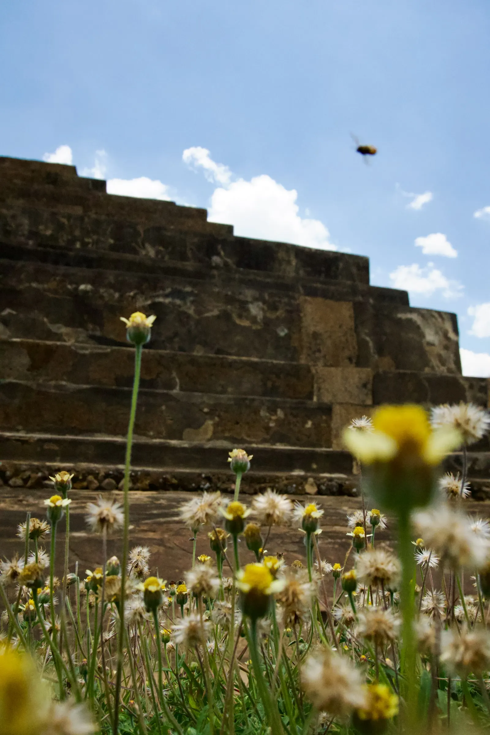
Wear a hat. The plaza is open, the concrete reflects heat, and there is almost no shade between the entrance and the pyramid. Photography is fine. Climbing the structure is not.
Find it
Ruinas del Tazumal · Chalchuapa · Santa Ana, El Salvador
- Coordinates
13.9800, -89.6767- Elevation
- 700 m
- Archaeology
- Culture
- Architecture